

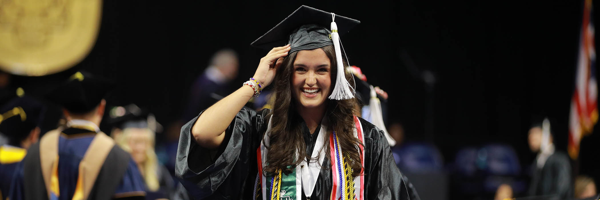
Creativity. Culture. Science. Education.
Chart your unique course in the Judith Herb College of Arts, Social Sciences and Education. With the widest range of programs at UToledo, you can bring your own perspective to the study of human experience. Express yourself with visual and performing arts — or learn to harness the power of media. Discover the science of the human mind. Understand the social systems that shape our laws and society. Dive into culture and history. Educate and inspire future generations.

THinC Forum: Education in the Era of AI
Are you new to artificial intelligence (AI) and curious about how it can benefit you and your students? Join us for the inaugural THInC Forum at the University of Toledo, where we'll focus on Education in the Era of AI.
July 31, 2025
8 a.m. - 6:30 p.m.
Meet Adam Turner
'07 Criminal Justice
The University of Toledo shaped my life in so many ways. My professors in the Criminal Justice program were amazing. Dr. Kasey Tucker, especially, made a lasting impact. Her classes were challenging and engaging. Without UToledo, my career wouldn’t have been as successful as it is.
Read MoreMeet Crystal Smith
'24 Media Communication
Christal was recognized at the Toledo American Advertising Federation's 2025 American Advertising Award for work she did as an intern in University of Toledo’s Office of University Marketing and Communications. The recent UToledo alum is currently pursuing a master's degree in strategic communications and social media,
Read MoreMeet Kayla Kirk
'17, Bachelor of Fine Arts in Sculpture, Art History
Kayla Kirk knew that studying fine art at The University of Toledo would provide her with the experience she needed. Now, less than a decade later, Kirk is bringing that community back a little closer to home by providing a space for others to experience art as she does.
Read More