About the College
- Dean's Office
- Mission Statement
- Departments, Faculty and Staff
- Centers
- Lecture Series
- Faculty Achievements
- Accreditation
- Faculty Council
- Conferences
- News
- Give
Contact Us
University Hall
Third Floor, Room 3160
Mail Stop 906
419.530.2164
jhcase@UToledo.Edu
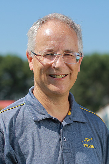
Kevin Czajkowski

Professor, Director of GISAG, Director of GIS Certificate Program
Remote Sensing, Meteorology
Snyder Memorial 3034
419.530.4274
Education
Ph.D. University of Michigan, 1995 – Atmospheric Sciences
B.S. State University of New York at Oneonta, summa cum laude, 1989 – Meteorology
Research Interests
Dr. Czajkowski's research interests are diverse and all revolve around geospatial technologies.
Dr. Czajkowski uses GIS and remote sensing technologies to assess sources of non-point source pollution in the Maumee River Watershed and Lake Erie through the Maumee River GIS and the Lake Erie Center. We develop land cover classifications using remote sensing linking that to wetlands in the watershed (Lake Erie Center Sensor Project).
Dr. Czajkowski uses remote sensing and GIS to investigate the potential health hazards due to the application of biosolids to agricultural fields.
Dr. Czajkowski investigates the impact of land cover on surface temperature and the energy budget. He engages K-12 teachers and students through the SATELLITES Program which utilizes surface temperature observations through GLOBE. He also engages in the education programs: ESSEA and LEADERS.


