

events
Display in Calendar Format![]()
Highlights - UToledo department of geography and planning 60th anniversary
Open House
Saturday, Sept. 30, 2023
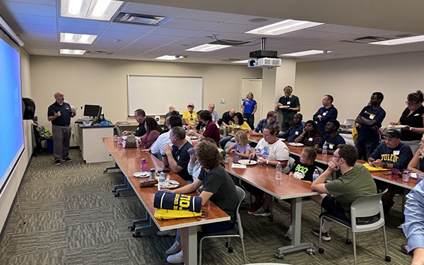
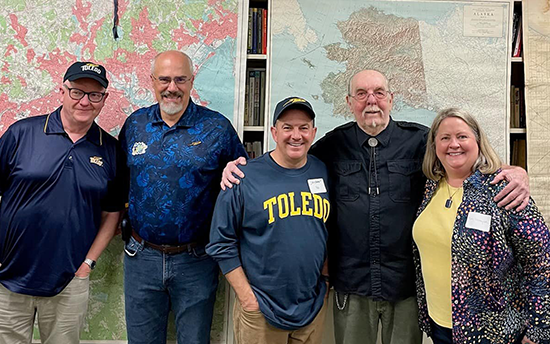
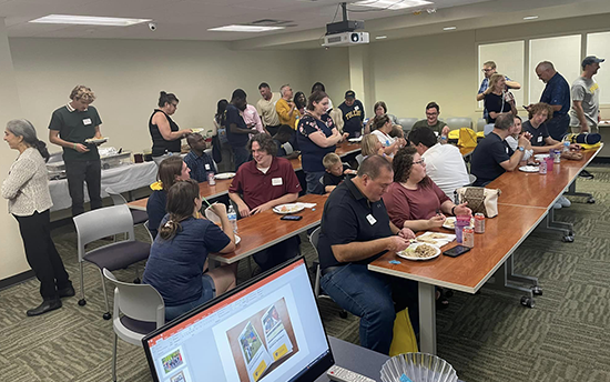
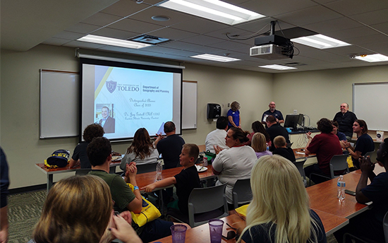
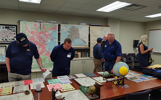
More than 50 alumni joined us for an open house the weekend of UToledo's Homecoming, celebrating the 60th anniversary of the UToledo Department of Geography and Planning. Those attending enjoyed refreshments, tours of the department, historical displays and the announcement of the first class of GEPL Outstanding Alumni!
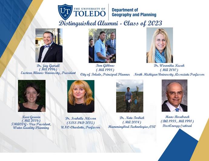 2023 GEPL Outstanding Alumni
- Dr. Jay Gatrell (MA Geography 1996), Eastern Illinois University, President
- Kari Gerwin (MA Geography 2006) TMACOG - Vice President, Water Quality Planning
- Tom Gibbons (MA Geography 1998) City of Toledo, Principal Planner
- Dr. Weronika Kusek (MA Geography 2010) Northern Michigan University, Associate Professor
- Dr. Isabelle Nilsson (SISS PhD 2015) UNC-Charlotte, Professor
- Hans Rosebrock (BA Geography 1988, MA Geography 1991) FirstEnergy (retired)
- Dr. Nate Torbick (MA Geography 2004) Hummingbird Technologies, CSO
Photos from the Open House
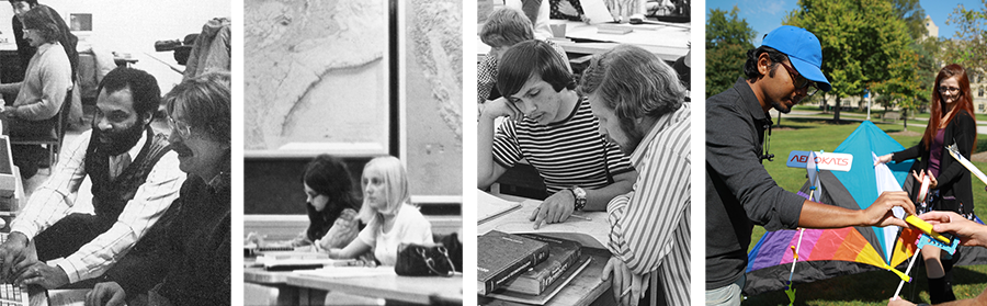
60 Years of the Geography and Planning Department
The video below features photos of students, faculty and GEPL events and projects from the past 60 years. Are YOU in there? Take a look and see!
PAST Workshops - 2022
4th Annual OhioView Remote Sensing Workshops on Feb. 4 and Feb. 25
Learn how to work with online GIS and remote sensing imagery, techniques, and methods that use freely available software.
4th annual OhioView Multi-University Geospatial Workshop
Friday, February 4, 2022 and Friday, February 25, 2022, 9 a.m. - 1:30 p.m.
Workshop theme: “Online GIS and Open Source Remote Sensing”
Free workshops with no registration fee. Due to Covid-19, this year’s workshops will be done entirely online via Zoom.
- Building Explorer or Guided Map Tours with ArcGIS StoryMaps (beginner level)
- Dr. Bradley Shellito, Youngstown State University
- In this session, we’ll use the new ArcGIS StoryMap tools to design and publish a Map Tour StoryMap. You’ll have your choice of designing your StoryMap with either an Explorer Map Tour or a Guided Map Tour.
- Note: You’ll need an Organization-level account for ArcGIS Online for this session. If you don’t have one, it will be provided for you.
- Mobile Data Collection with Online Forms and ArcGIS Survey 123 (beginner level)
- Ms. Robbyn Abbitt, Miami University
- In this session we will explore using web-based forms to collect data (geolocation data and attribute data). Attendees will learn how to create, deploy, and share their form and how to visualize the data after collection.
- Note: You’ll need an Organization-level account licensed for Survey 123 for ArcGIS Online for this session. If you don’t have one, it will be provided for you.
- Satellite image processing using Google Earth Engine (intermediate level)
- Dr. Umesh Haritashya and Dr. Vibhor Agarwal, University of Dayton
- This session will show how to use optical remote sensing imagery for computing spatial-temporal patterns in Normalized Difference Vegetation Index (NDVI) and other indices using Google Earth Engine.
- You’ll be provided all of the workshop materials and data for free, although you’ll have to download and install the free software used in the sessions prior to the workshop on your own computer.
Though the workshop are free, seats are limited – so if you’re interested in attending,
please use the links above to register for the workshops and reserve a seat as soon
as possible.