

Events and News
2024 American Association of Geographers (A.A.G.)
Joint Regional Meeting of the East Lakes and West Lakes Division
October 2024
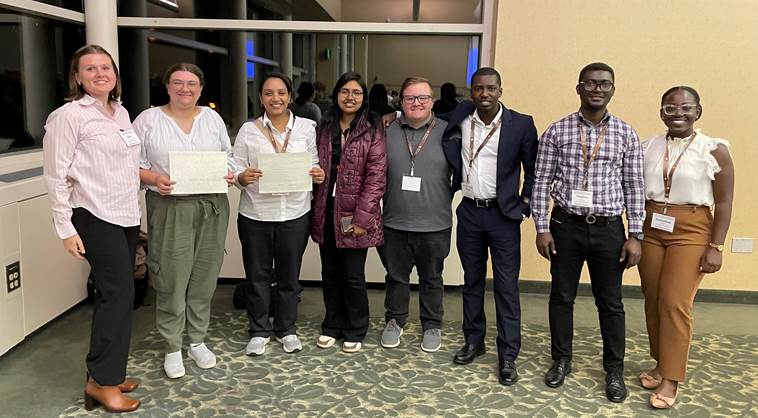
Ten students and three faculty from the Department of Geography and Planning, College of Arts and Letters, recently attended the 2024 joint regional meeting of the East Lakes and West Lakes Division of the American Association of Geographers (AAG). The Association is the largest professional academic and professional organization for geography in the world with over 10,000 members from more than 30 countries. The 2024 ELDAAG/WLDAAG joint regional meeting was held at Western Michigan University with 180 attendees (100+ students) from 30 geography programs across 8 states.
An annual event at the meeting is a student presentation competition where for the East Lakes Division a total of 17 awards are handed out for the best poster and oral paper presentations. Students from the department secured 5 of those awards-among the most from a single geography program. Congratulations to all our students and special acknowledgment of the award winners-list below. Of special note, Elizabeth White (B.A. Geography) received one of two awards provided by the AAG National Council to the Best Student Presentations at the regional meeting, which provides support for her to attend and give the presentation at the 2025 annual international meeting of the AAG to be held in Detroit next March.
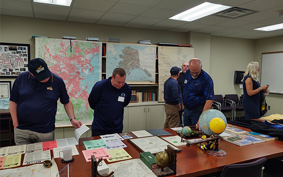
(Pictured above - from left to right: Eve Corlett, Elizabeth White, Pramila Paudyal, Fariha Mustafa, Sage Lail, Yusuf Tayo, Stephen Yankera, Dorcaslove Quartey)
Our Regional A.A.G. Award Winners
- Undergrad oral presentation 1st-Elizabeth White
- AAG Award for Best Undergraduate presentation-Elizabeth White
- MA presentation 2nd(tie) Fariha Mustrafa
- PhD presentation 2nd Pramilla Paudyal
- PhD presentation 3rd Oluwaseun Ibukun
2025 American Association of Geographers (A.A.G.)
Annual Meeting
March 24-28, 2025
Detroit, MI
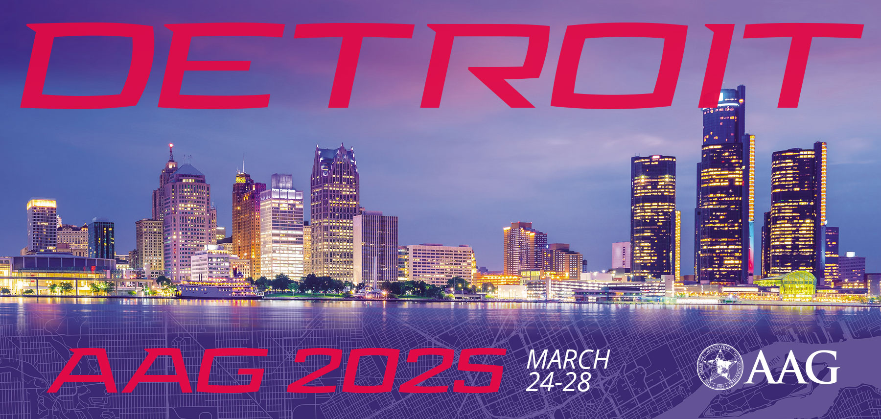
Sessions and related events will be held at both Huntington Place and the Marriott Detroit at the Renaissance Center.
This meeting, which anticipates in-person attendance of over 6,000 faculty, students, and practitioners, travelling from over 30 countries, will be held in Detroit for the first time in 30 years.
 Dr. Patrick Lawrence, Chair and Professor, and Dr. Minxuan Lan, Assistant Professor,
in the Department of Geography and Planning have been appointed to serve on the local
arrangements committee for the 2025 Annual Meeting of the American Association of
Geographers. They will be involved with general conference planning, including focusing
on opportunities for students, organization of special sessions, and assisting with
local field trip arrangements.
Dr. Patrick Lawrence, Chair and Professor, and Dr. Minxuan Lan, Assistant Professor,
in the Department of Geography and Planning have been appointed to serve on the local
arrangements committee for the 2025 Annual Meeting of the American Association of
Geographers. They will be involved with general conference planning, including focusing
on opportunities for students, organization of special sessions, and assisting with
local field trip arrangements.
Dr. Lawrence anticipates that upwards of 20 of fellow faculty and students from the department will participate in the 2025 AAG Annual Meeting in Detroit with presentations on their recent research activities.
The AAG is the largest professional organization for geographers in the world with close to 10,000 members and provides networking, professional development, training, promotion of job and career opportunities, and educational resources to its members.
In addition to Drs. Lawrence and Lan, many other faculty and students in the department have regularly attended the AAG annual meeting as well as the East Lakes Division Regional meeting held each fall. In 2023 that regional meeting was hosted by the UToledo Department of Geography and Planning.
2025 AAG Annual Meeting Website
Past Events
UToledo department of geography and planning 60th anniversary
Open House
Saturday, Sept. 30, 2023
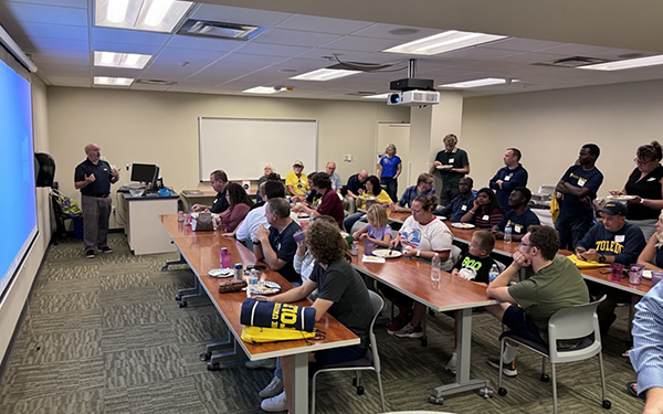
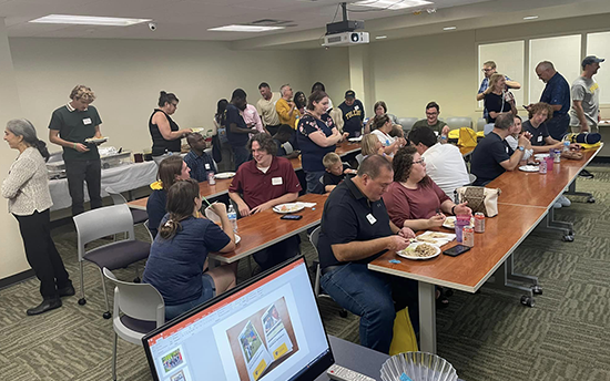
More than 50 alumni joined us for an open house the weekend of UToledo's Homecoming, celebrating the 60th anniversary of the UToledo Department of Geography and Planning. Those attending enjoyed refreshments, tours of the department, historical displays and the announcement of the first class of GEPL Outstanding Alumni!
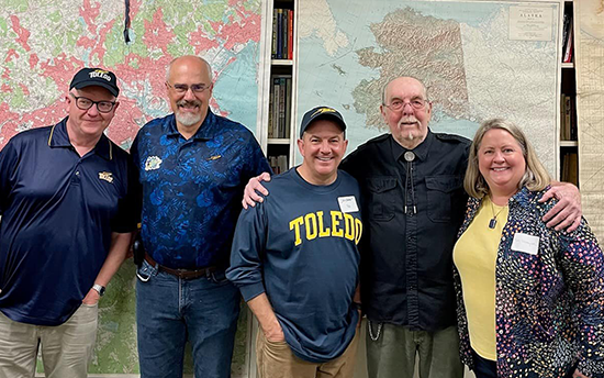
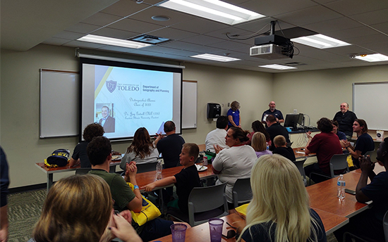
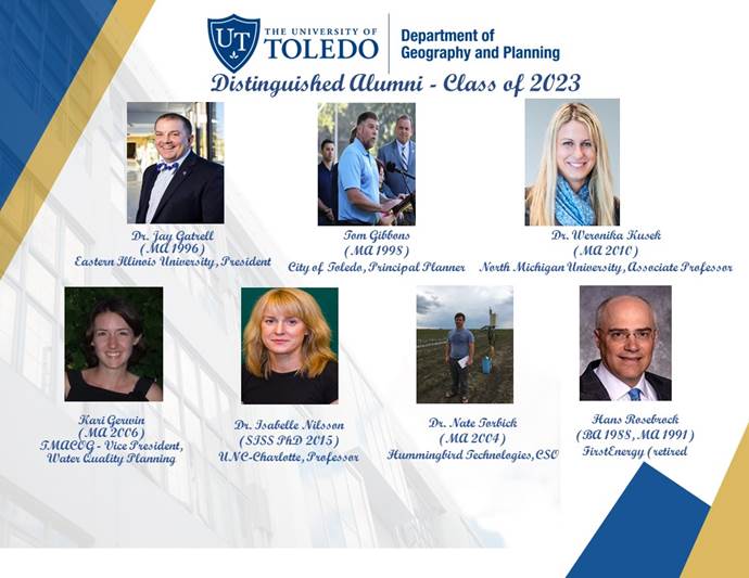 2023 GEPL Outstanding Alumni
- Dr. Jay Gatrell (MA Geography 1996), Eastern Illinois University, President
- Kari Gerwin (MA Geography 2006) TMACOG - Vice President, Water Quality Planning
- Tom Gibbons (MA Geography 1998) City of Toledo, Principal Planner
- Dr. Weronika Kusek (MA Geography 2010) Northern Michigan University, Associate Professor
- Dr. Isabelle Nilsson (SISS PhD 2015) UNC-Charlotte, Professor
- Hans Rosebrock (BA Geography 1988, MA Geography 1991) FirstEnergy (retired)
- Dr. Nate Torbick (MA Geography 2004) Hummingbird Technologies, CSO
Photos from the Open House
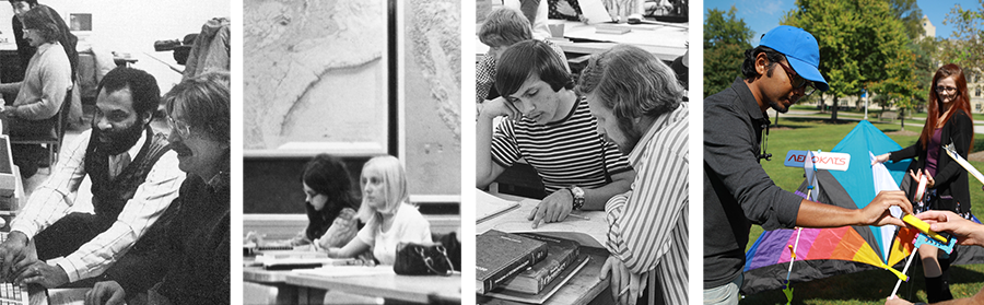
60 Years of the Geography and Planning Department
The video below features photos of students, faculty and GEPL events and projects from the past 60 years. Are YOU in there? Take a look and see!
PAST Workshops - 2022
4th Annual OhioView Remote Sensing Workshops on Feb. 4 and Feb. 25
Learn how to work with online GIS and remote sensing imagery, techniques, and methods that use freely available software.
4th annual OhioView Multi-University Geospatial Workshop
Friday, February 4, 2022 and Friday, February 25, 2022, 9 a.m. - 1:30 p.m.
Workshop theme: “Online GIS and Open Source Remote Sensing”
Free workshops with no registration fee. Due to Covid-19, this year’s workshops will be done entirely online via Zoom.
- Building Explorer or Guided Map Tours with ArcGIS StoryMaps (beginner level)
- Dr. Bradley Shellito, Youngstown State University
- In this session, we’ll use the new ArcGIS StoryMap tools to design and publish a Map Tour StoryMap. You’ll have your choice of designing your StoryMap with either an Explorer Map Tour or a Guided Map Tour.
- Note: You’ll need an Organization-level account for ArcGIS Online for this session. If you don’t have one, it will be provided for you.
- Mobile Data Collection with Online Forms and ArcGIS Survey 123 (beginner level)
- Ms. Robbyn Abbitt, Miami University
- In this session we will explore using web-based forms to collect data (geolocation data and attribute data). Attendees will learn how to create, deploy, and share their form and how to visualize the data after collection.
- Note: You’ll need an Organization-level account licensed for Survey 123 for ArcGIS Online for this session. If you don’t have one, it will be provided for you.
- Satellite image processing using Google Earth Engine (intermediate level)
- Dr. Umesh Haritashya and Dr. Vibhor Agarwal, University of Dayton
- This session will show how to use optical remote sensing imagery for computing spatial-temporal patterns in Normalized Difference Vegetation Index (NDVI) and other indices using Google Earth Engine.
- You’ll be provided all of the workshop materials and data for free, although you’ll have to download and install the free software used in the sessions prior to the workshop on your own computer.
Though the workshop are free, seats are limited – so if you’re interested in attending,
please use the links above to register for the workshops and reserve a seat as soon
as possible.